The Summary:

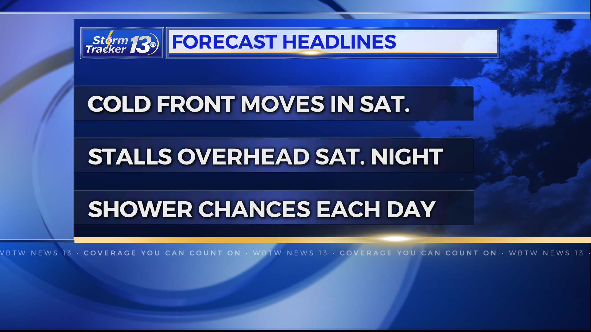
Dig out those umbrellas as rain chances are back in the forecast and here to stay in the Carolinas. A cold front will come in and stall out Saturday. Essentially, the boundary will meander just north and south of the eastern Carolinas for at least a week while several storm systems develop along this boundary. The days with the highest chance for rain and who will see the heaviest rain will depend on the exact track and timing of each of those storm systems.
The begininng:
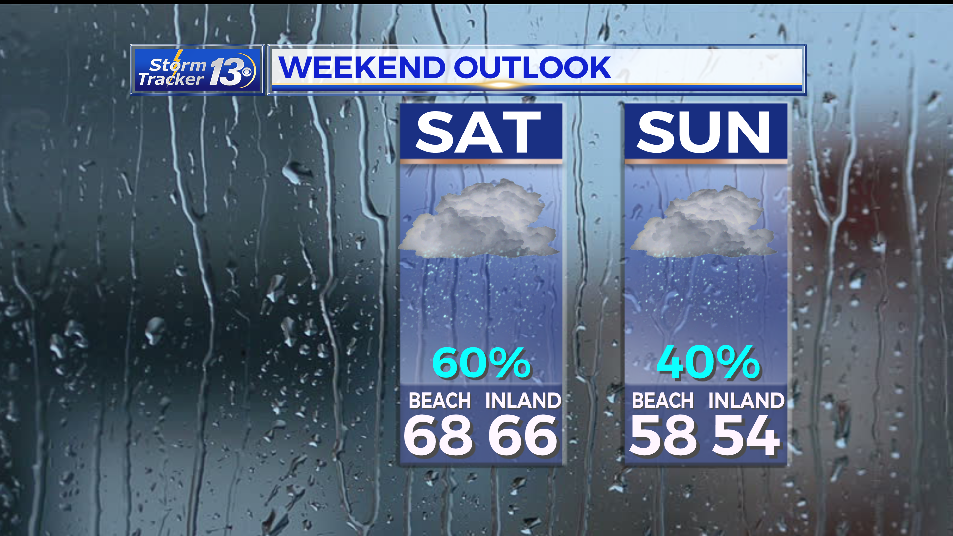
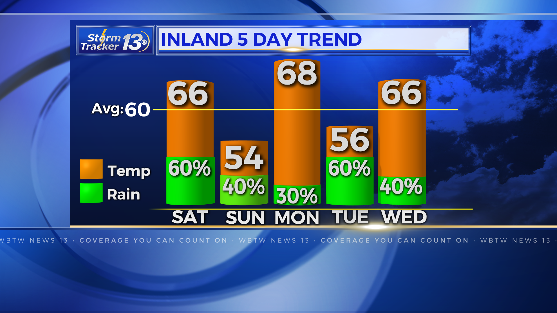
A cold front will approach early Saturday and will bring in showers ahead of it. The cold front will breifly pass to our south Saturday afternoon and part of Sunday. This will allow cooler air to move into the Carolinas and allow rain chances to come down for a short period of time. Saturdays highs will be in the mid 60s while Sunday will be in the mid 50s.

The middle:
That cold front will make a quick comeback and move back north as a warm front Sunday evening. This will bump rain chances back up and allow warmer temps again on Monday. A storm system will develop along the front and pass by to our northwest, keeping scattered showers in the forecast through Monday. The boundary briefly meanders to the south again Monday afternoon, again, allowing us to briefly dry out and cool down Monday night. And it goes on…the video below shows how the boundary meanders north and south every day or so.
It continues….
Yet another storm system will develop along the meandering boundary and will pull a warm front north midweek. The back and forth motion of the boundary and resulting up and down rain chances and temps will continue through the end of the week into next week. Rainfall totals will depend on where the heaviest rain tracks over the next 7 days and could range anywhere from 1 to 4 inches with the current forecast. However, this can and will change over the coming days.
Stay tuned to News13 for every weather update on TV or download the News13 app for your smartphone for the latest 7 day forecasts.


