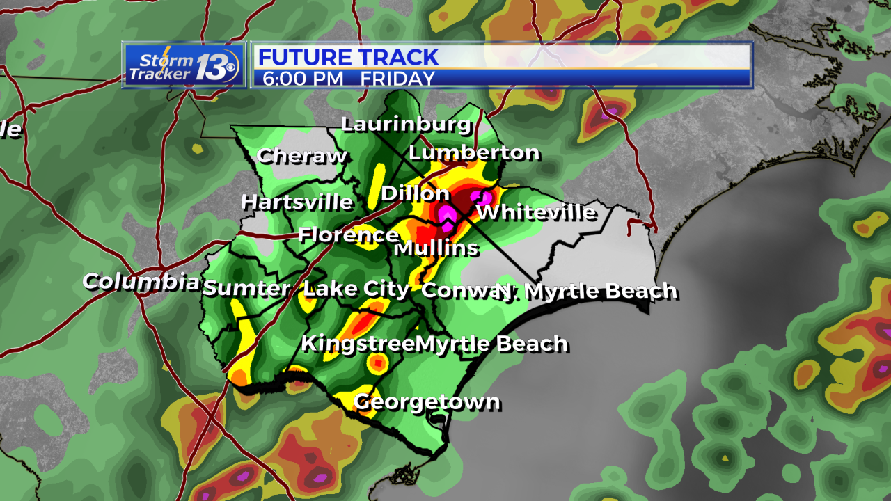
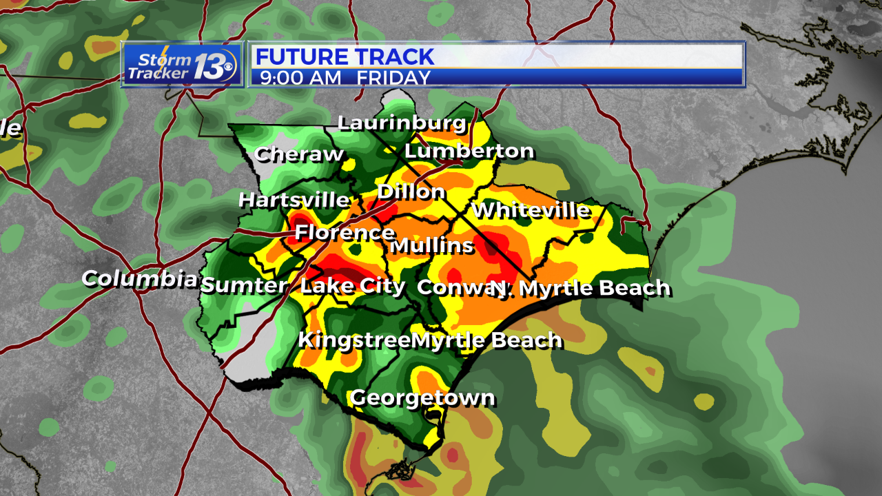
A warm front will lift north overnight Thursday into Friday allowing for warm unstable air to overspread the area. A cold front will move into the Carolinas Friday. Widespread showers and a few rumbles of thunder are possible throughout the day Friday. The storm Prediction center has placed our area in the “Marginal Risk” for severe weather which is the lowest threat possible.
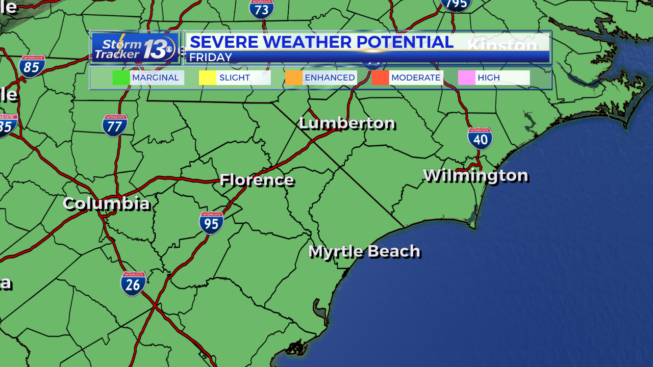
However, a few storms ahead of the main line could produce gusty winds and an isolated tornado can’t be ruled out. The rain will move out for Saturday with high pressure to the north cooling us off just a tad. Another front will bring the rain back for Sunday.
The chance for showers will continue each day through next Wednesday and Thursday The highest rainfall amounts are likely inland, west of the I-95 corridor with totals of 2 to 4 inches expected. Closer to the beach 1 to 3 inches are possible through next week. Beyond next week, it looks like we’ll start to see some colder air beyond next Thursday.