TAMPA, Fla. (WFLA) – The Atlantic could potentially see the first named storm of 2020 this weekend – two weeks before the official start of the hurricane season.
The National Hurricane Center continues to monitor an area of cloudiness and thunderstorms that’s located over the Straits of Florida. The area is expected to spread northeast in the next few days.
“There is a stalled frontal boundary to our south and it’s not uncommon for us to see areas of low pressure spin up along the boundary this time of year,” Storm Team 8 Meteorologist Amanda Holly said.
The NHC increased the chances of formation over the next two days to 40 percent. The chance of formation in the next five days remains high at 70 percent.
The system is likely to become a tropical or subtropical depression this weekend when it’s located near or north of the northwestern Bahamas, the NHC says.
“It’s not really organized at this time but it will likely get organized into our first named storm of the season,” Holly said. “All of that tropical moisture is going to slowly slide to the north and move into an area that’s relatively favorable for strengthening.”
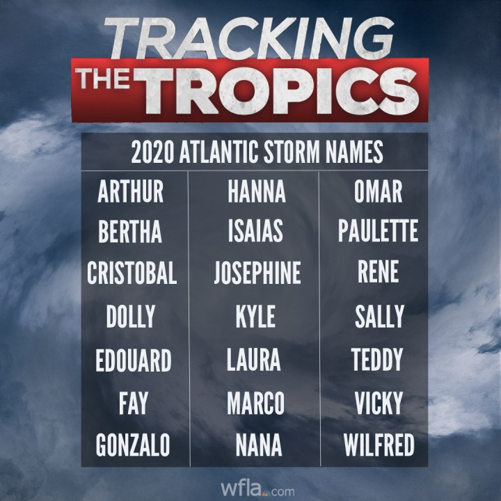
The first named storm of 2020 will be given the name Arthur.

Hurricane season doesn’t officially start until June 1 but preaseason tropical development is never out of the question.
Meteorologists Amanda Holly and Julie Phillips will join Digital Anchor JB Biunno at 2 p.m. ET to break down the latest information from the NHC on Tracking the Tropics.
MORE TRACKING THE TROPICS COVERAGE:


