Tracking 2 tropical waves in the eastern Atlantic, 92L& 93L
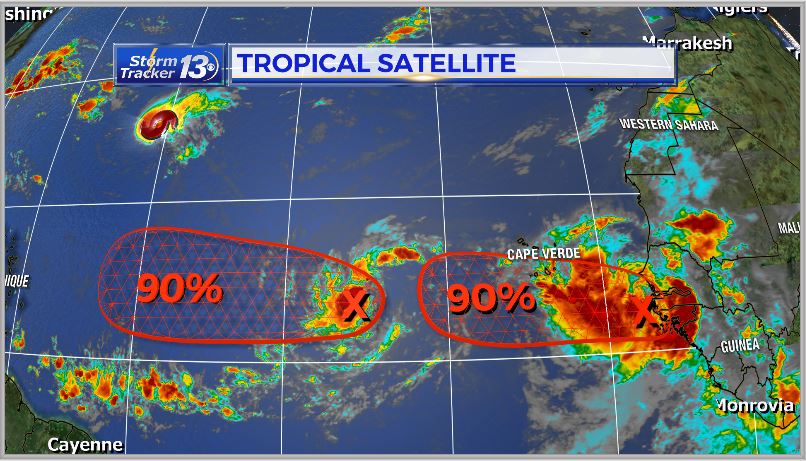
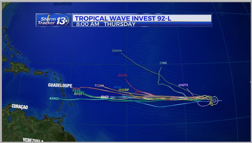
Behind Florence we have invest 92L which the National Hurricane Center is giving a 90% chance of tropical development over the next 48 hours. We’ll likely have our next Tropical storm (Helene) possibly by the end of today into Saturday morning.

We’ll continue to track this system as it moves to the WNW over the next week.
And behind 92L, there is another wave coming off the West African coast, 93L, which the NHC has also given a 90% chance for tropical development over the next 2 days.
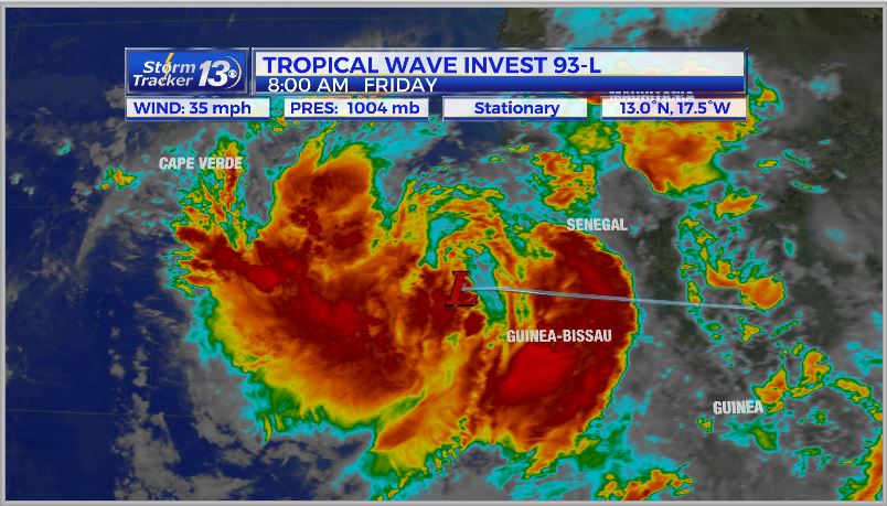
We will likely see 93L develop into a tropical storm(Isaac) overt he next 24-48 hours. This system will also need to be watched down the road depending on the strength of the ridge high pressure over the Atlantic.
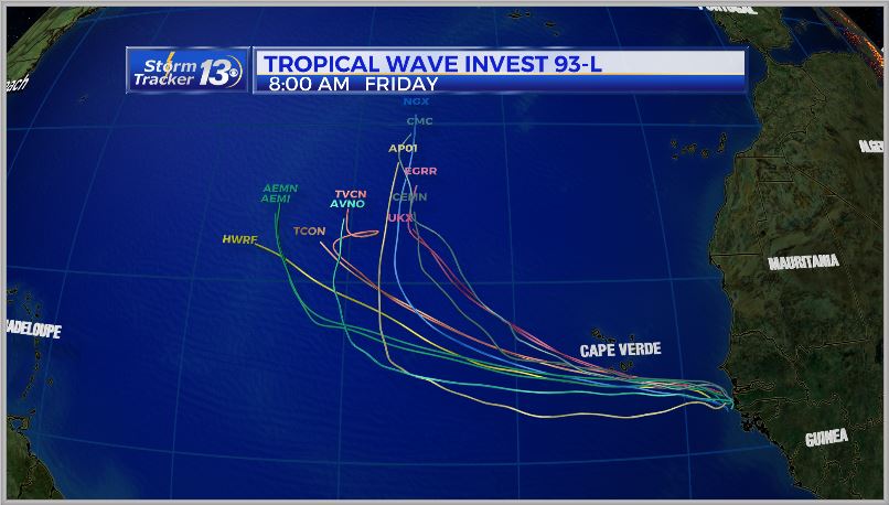
Models are trending a more NNW track by mid week with this storm system, but it still will be watched closely.


