11PM TROPICAL UPDATE:

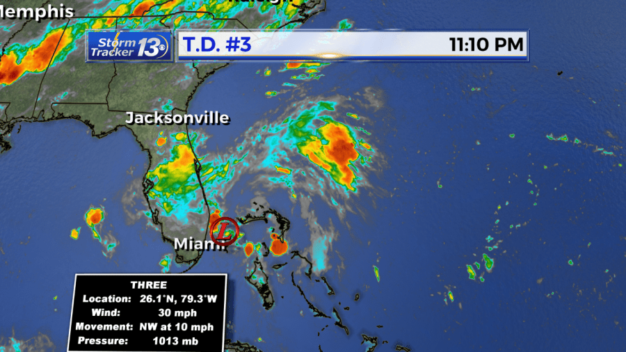
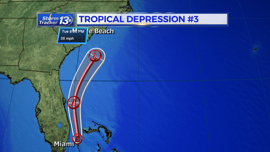
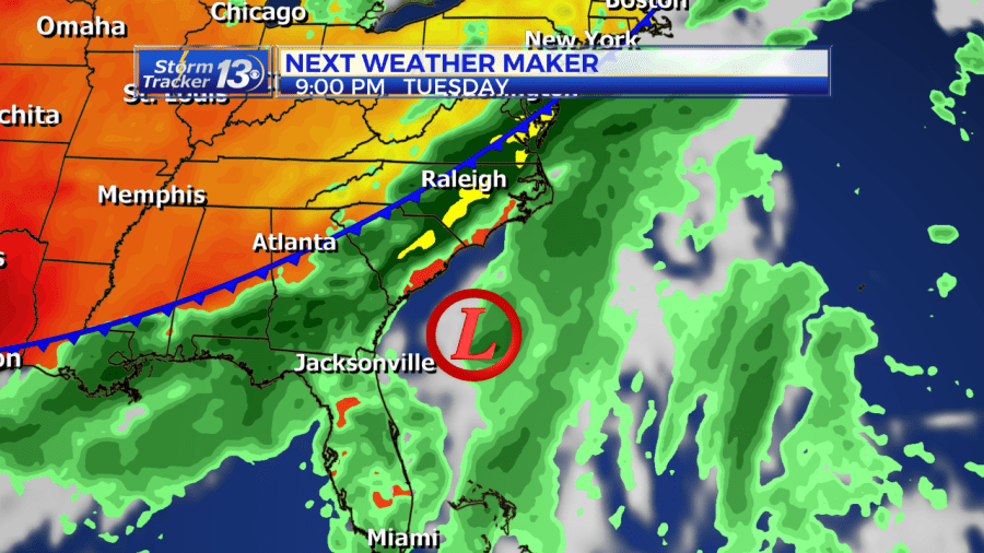
Not much has changed since 5pm Monday. The storm system is very disorganized tonight and thunderstorm activity around the center of circulation is very weak and limited. Sustained winds are still at 30mph moving off towards the NW at 10mph. Very little if any strengthening is expected. Latest forecast track continues T.D. 3 on a NW track. Most models keep this system off or close to the NC/SC coast. The only impacts we could see are higher surf and rip currents conditions. Our cold front pushing this system away will bring a chance for showers and storms Tuesday afternoon and evening. Rain totals in general expected 1-2inches, but mainly due to the frontal system and the the tropical depression.

5pm Monday: Tropical Depression 3 has formed in the Atlantic.
As of 5pm Monday, deep convection has increased in association with the small low pressure area we have been monitoring near the Bahamas. Maximum sustained winds are near 30mph. Movement is to the northwest at 13mph and is expected to continue to ride up close to the Carolina coast.
A cold front moving in Tuesday will keep this system off or just near the SC/NC coast line. The storm system may gain a little more strength in the next 24 hours, but expected to remain a tropical depression. With the system approaching, coastal sections can expect breezier conditions and higher surf and rip current threat Tuesday into Wednesday.

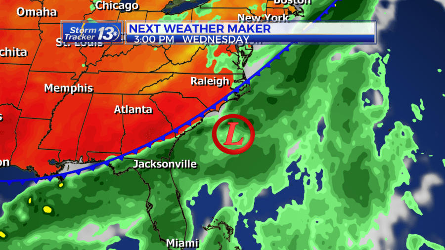
Major and wide spread impacts are not expected. The only impacts that we’ll see are chances for showers and storms Tuesday afternoon and evening, but mainly due to the cold front that will push this system offshore and cool us down middle of the week.

Some heavier showers could persist along the coast Wednesday morning adding to the rain totals but area wide 1-2 inches possible with pockets of 3 inches.


