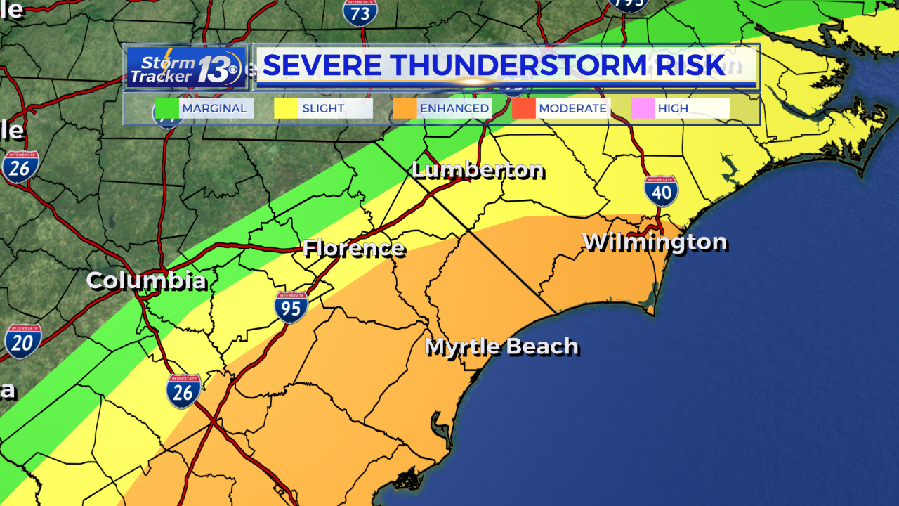
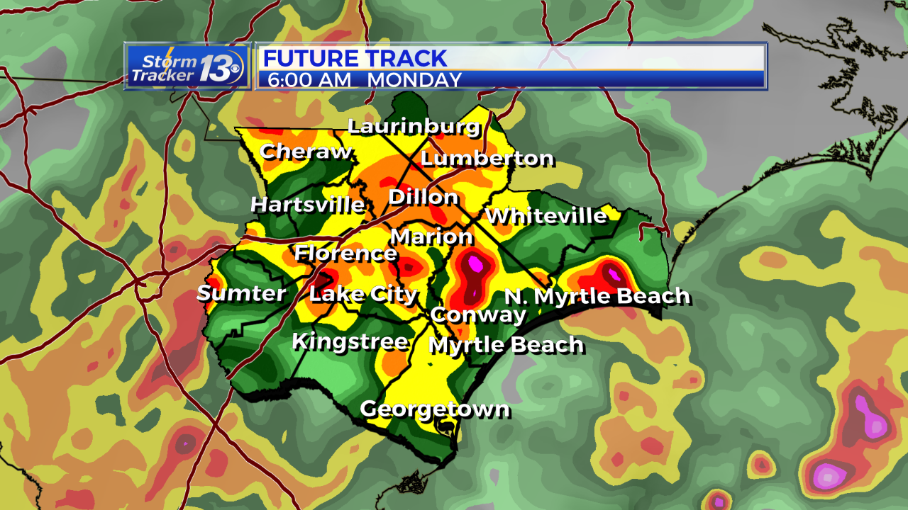
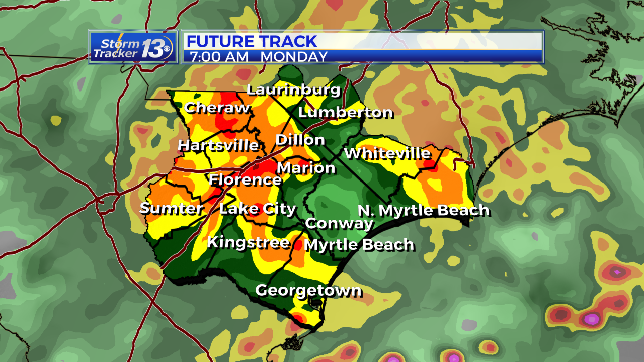
Early morning storms will roll through the area, some could be strong to severe. Portions of our area are in an enhanced risk for some severe thunderstorms. The Storm Prediction Center has put us under an enhanced risk for severe thunderstorms with even better chances for stronger storms in areas to our south and southwest

. This means that we’re seeing the potential for severe and potentially dangerous thunderstorms in our area. Strong damaging wind gusts and isolated tornadoes are possible with these storms. The timing of these strong storms will be from around 6am through late morning. A few storms cloud linger through midday but we’ll slowly clear out this afternoon.


Mostly sunny and warmer Tuesday ahead of a dry cold front. Highs will climb to the mid 70s along the coast, near 80 inland. Sunny but cooler Wednesday with highs in the mid 60s to near 70. Rain moves back in on Thursday and could linger into early Friday morning.
Mostly sunny and warm to start the weekend with highs in the mid to upper 70s at the beaches, low 80s inland. Rain moves back in Saturday night and will linger into Sunday.


