After making landfall Saturday as a category 1 hurricane, Barry is now in Arkansas as a “post tropical cyclone”.
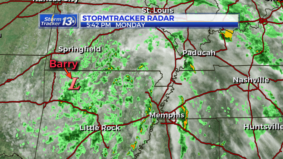
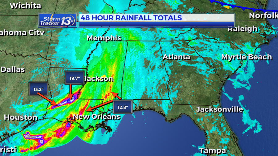
The storm system has been moving very slow but has picked up speed Monday. Despite Bary weakening, localized flooding will be a possibility for a few more days out west. Areas in Louisiana, Mississippi, and Arkansas have received up to 10-20 inches of rain since Saturday. This amount of rain has caused numerous flooding and road closers to parts of the Gulf states.
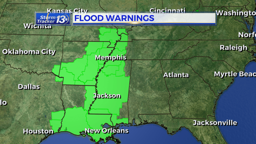
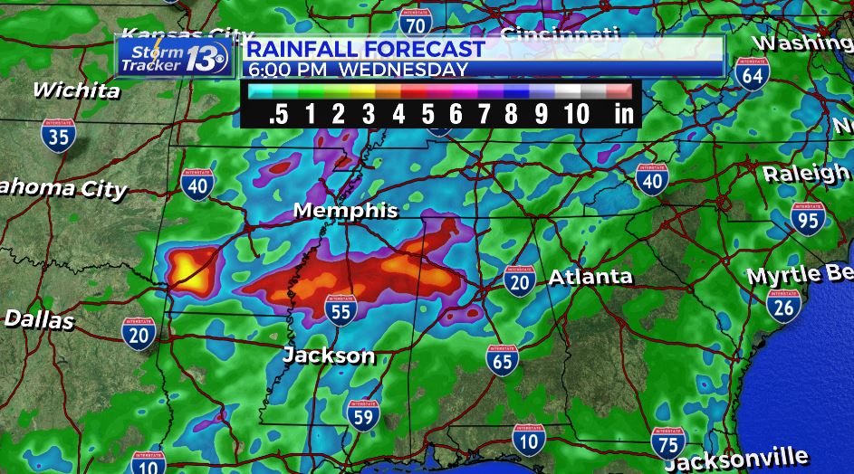
Forecast models indicated another 3-6 inches of rain area wide is possible through Wednesday. The storm system will continue to weaken as it heads northeast through Thursday. Locally, this system will bring a 30% chance for showers and storms in the afternoon and evening Thursday and Friday, mainly due to the increased moisture in the atmosphere along with all of the heat and humidity we’ll see.
