StormTracker 13’s Meteorologist Amanda Holly is out west chasing severe storms this week.
She’s with a team from Mississippi State University, where she is working on her masters degree. The Storm chasing is part of her course work. On their first day of chasing, they saw quiet a bit. Take a look at some of her adventures just from day 1.
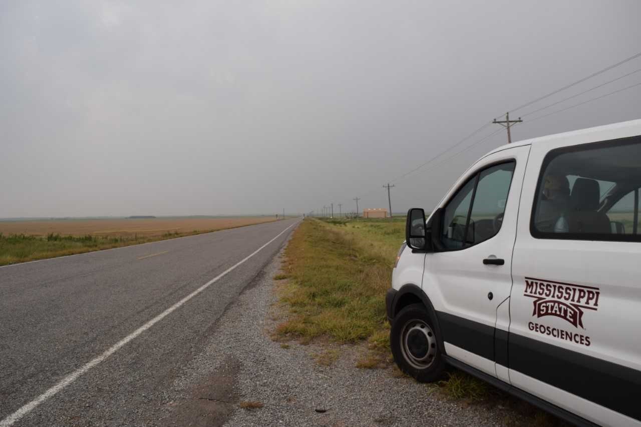
From Amanda:
“Drove from Oklahoma City this morning to Altus, OK where we spent much of the afternoon waiting for storms to initiate. Storms fired around 2 pm and we drove farther southwest to track a cell which did end up producing a tornado that we saw briefly (WOO!).
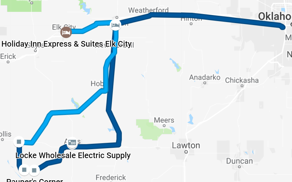
We saw the tornado on the ground near Mangum, OK. After that, the storms merged together and became hard to chase so we called it a (good) day! We are spending the night in Elk City. No chase is planned for tomorrow because even though there is a moderate risk, it is too far east and the terrain makes it difficult and dangerous to chase. We’ll be back at it Wednesday and target the Texas Panhandle and maybe up into Kansas.”
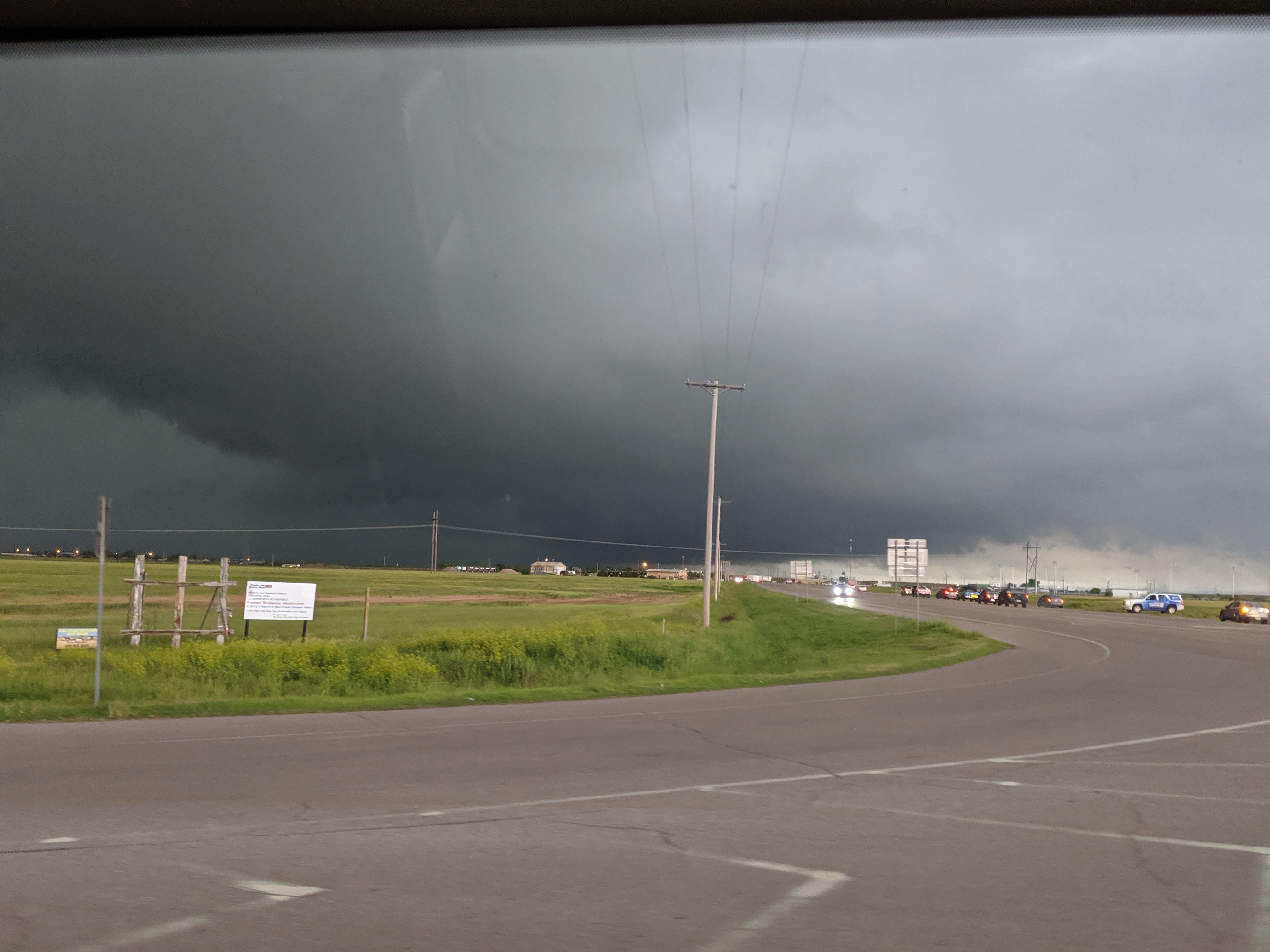
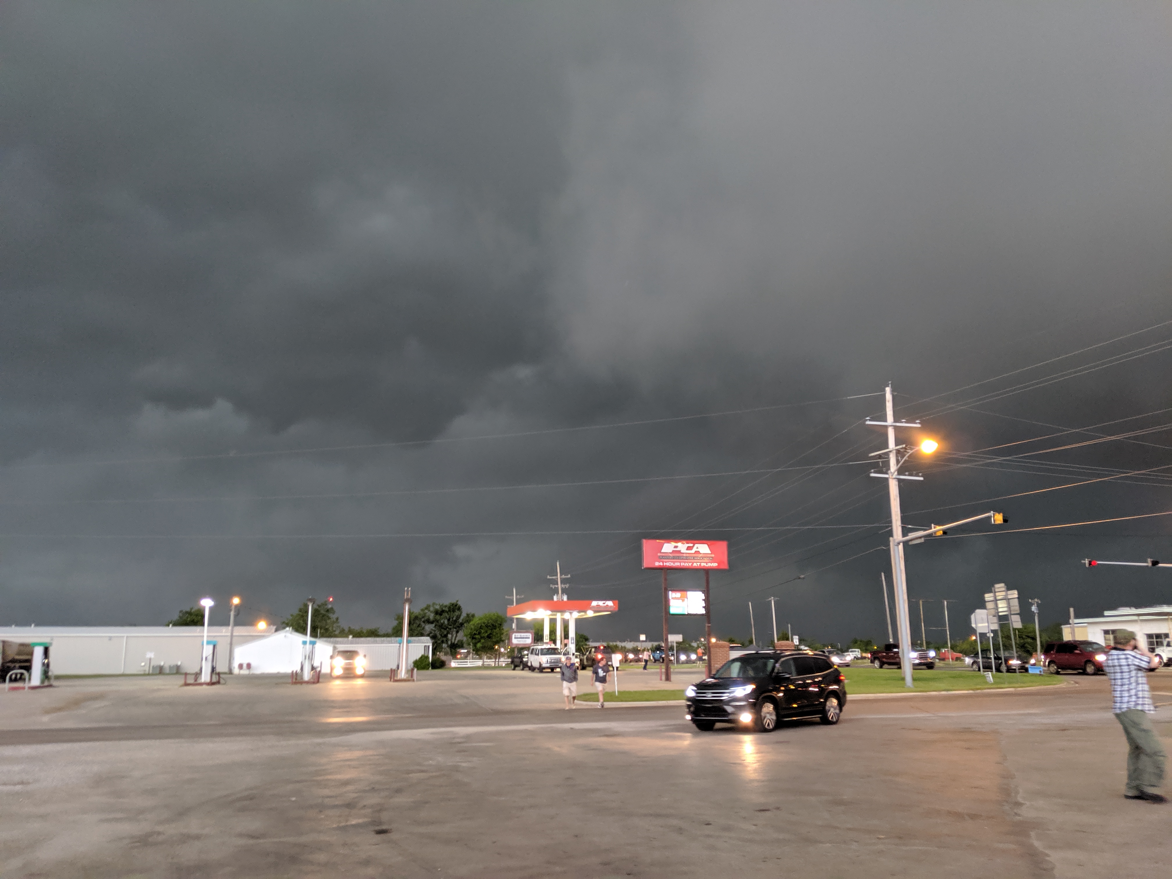
“All of the cloud pics are from the storm that produced the tornado we saw. The actual tornado pic (pic with radar in it) was taken by Michael Kaleta. He is in our van on the trip with me! The rest are mine.”
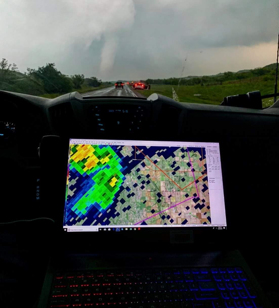
“The storms today we hard to see because the low cloud deck never broke up. We still got a good glimpse of the tornado and some cool shots of lightning. We kept up with the storm for a little while but they were moving so fast it was difficult. There were tons of cars on the road as well making things go a little slower.”
