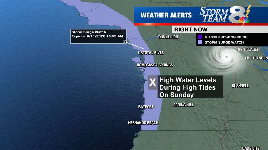
TAMPA, Fla. (WFLA) — Cristobal strengthened to become a tropical storm again on Friday as it moves back toward the Gulf of Mexico. Storm surge and tropical storm watches have been issued along parts of the U.S. Gulf Coast as it heads toward the coast.
Cristobal is back over the Gulf of Mexico as of 8 p.m. ET Friday, about 480 miles south of the mouth of the Mississippi River. The National Hurricane Center says Cristobal will move north over the Gulf of Mexico throughout the weekend before reaching Louisiana and moving inland late Sunday into Monday.
Maximum sustained winds are still 40 mph after Cristobal strengthened from a tropical depression to a tropical storm again on Friday afternoon.
According to the NHC, there’s an increasing risk that tropical-storm-force winds will be felt along parts of the Gulf Coast – from Intracoastal City, Louisiana to the Florida/Alabama border – starting Sunday morning. A tropical storm watch has been issued for that area.
Storm surge is also a concern as the system heads back toward the water. The NHC says heavy rain will spread onto parts of the Gulf coast from Texas to Florida over the weekend and into the beginning of next week.
A storm surge watch is in effect from Grand Isle, Lousiana to Ocean Springs, Mississippi and from Indian Pass to Arepika, Florida.

A flood watch is in effect throughout all of the Tampa Bay area through Sunday evening.


